The Oyo State Geographic Information System Service (OyoGISS) - transforming Land management, empowering the citizens, businesses, and government of Oyo State through spatial data and technology.
Oyo State Geographic Information System Service (OyoGISS) is a ground breaking technology-based enterprise platform for capturing, storing, managing and analyzing geographic data to support land administration, urban planning, and economic development across Oyo state.
Our mission is to improve access to spatial information, combine geographic data (maps, satellite imagery, etc.) with other data types (demographic, environmental, infrastructure, etc.) to provide insights, solve problems, and drive informed decisions thereby enable efficient land management for a sustainable and prosperous Oyo State.
OyoGISS Products
- Oyo State Property Reference System(OYPRS)
The Oyo Property Reference System (OYPRS) is a State property location and addressing service conceived and supported by the Oyo State Government to alleviate the prevalent addressing challenge in the State.
The Government of Governor Seyi Makinde, in its continued digital innovation efforts, initiated this service, which is aimed at providing specific and reliable property locations across the entire State, to positively and progressively impact the social and economic development of its citizen.
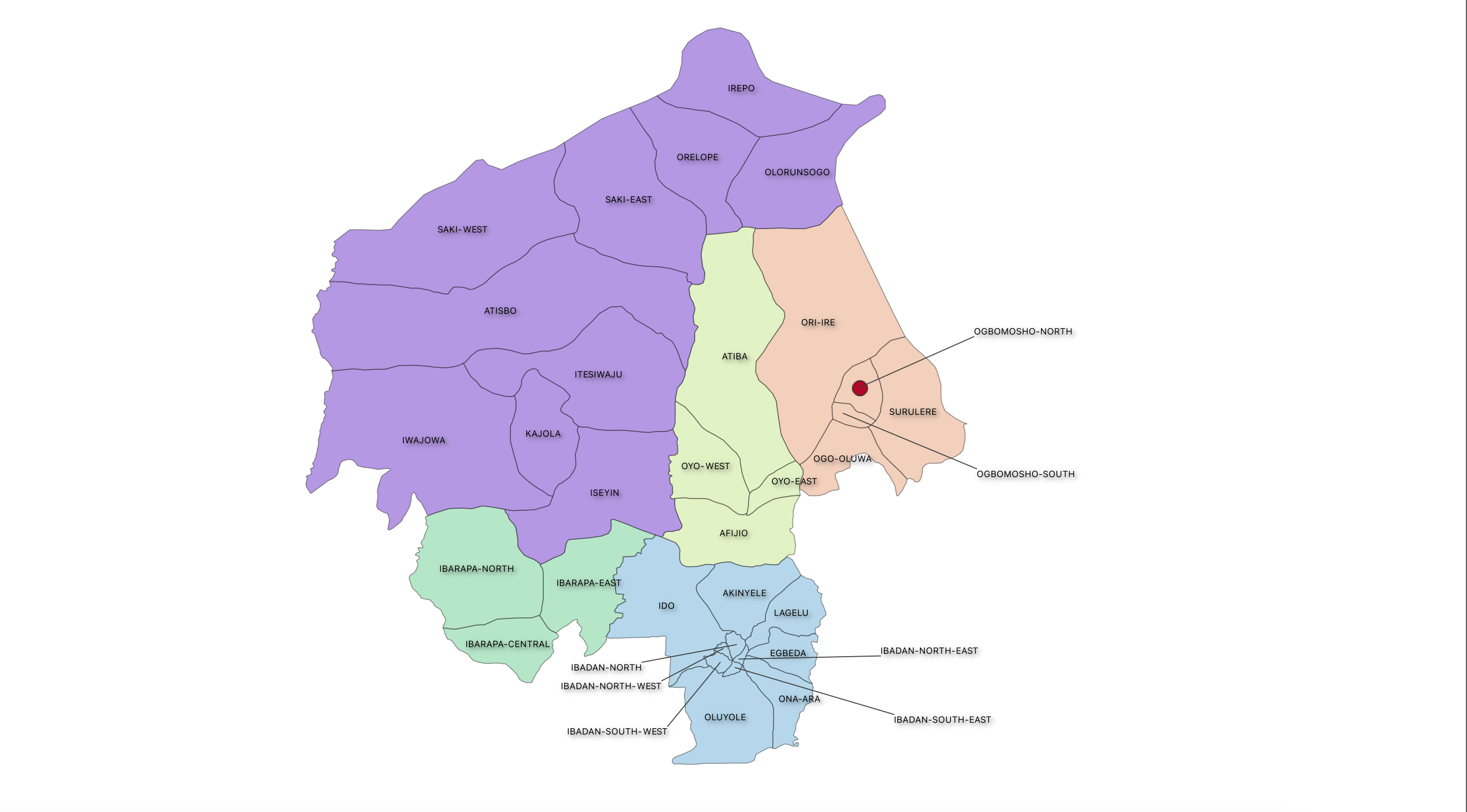
Having digitized all properties in the 33 LGAs of the State, it is now possible to have a point location of every building in the State, thus paving the way for a coherent addressing service. The first of its kind in the entire country.
All digitized properties have been numbered and codified with a property reference code and streets numbered and named using mapping technologies from the OyoGISS office.
Citizens, businesses and Government officials can locate addresses through this innovative and intuitive service.


